
Irvington, NJ → Providence, RI
165 mi · 3h 17m (driving)
Current Risk
Medium Risk
Coastal Flood Statement in effect along your route
Irvington
59°
Greater Bridgeport Planning Region
55°
East Haddam
53°
Providence
53°
Trip Briefing
3 segments · 165 mi · 3h 18m
Weather
☀️ Clear sky
55°F, wind 4 mph
Rest Stops
17
Restrooms
Cameras
6 live
Clear driving conditions expected
Rest stops in this segment:
- ● Whitney Houston Service Area 🚻
- ● Valley Settlement House 🚻
- ● Rest Area 🚻
Weather May Slow Traffic
Active weather advisory — expect slower travel
Traffic Cameras
See recent road conditions along your route
Images are snapshots updated periodically by state DOTs. Timestamps shown in images indicate when each photo was captured.
Choose your route:
Selected Route
Via GSP (Garden State Parkway) → I-87 South (New York State Thruway; Governor Thomas E. Dewey Thruway) → I-287 East (New York State Thruway; Governor Thomas E. Dewey Thruway) → I-95 North
Cameras shown are along this computed route
Need a custom route?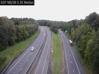
GSP NB to NYC-Albany I287-I87 MM 640.35
Albany, NY · NB
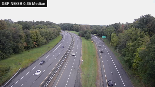
GSP MP 000.35 NB/SB Garden State Parkway Connector
NY · Both

I-87 MP 024.30 NB at Interchange 14 (Spring Valley Toll Gantry)
NY · NB
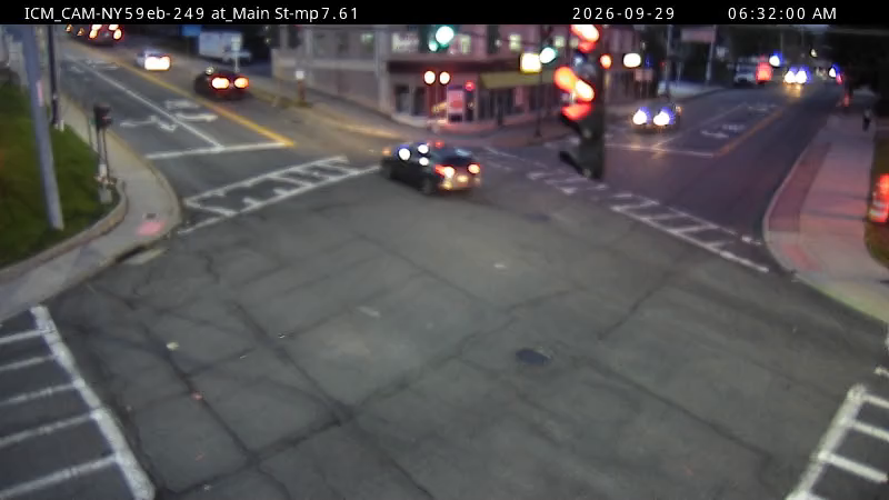
NY59 EB at South Main St MM 7.61
NY · EB
I-87SB/I-287EB at South Franklin St MM16.49
NY ·
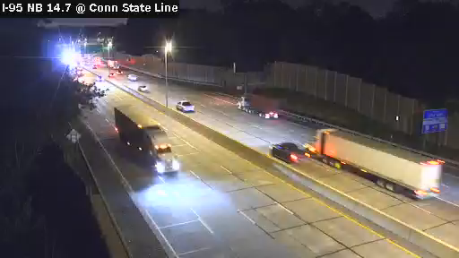
I-95 MP 014.70 NB Just Before the Connecticut State Line
NY · NB
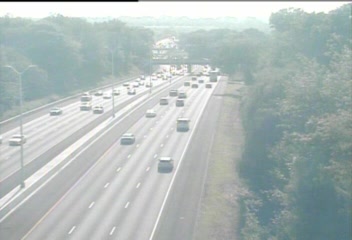
CAM 30 Norwalk I-95 NB S/O Exit 16 - S/O Saugatuck Ave.
Norwalk, CT · NB
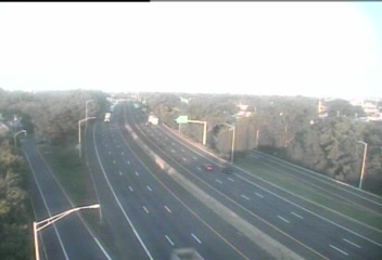
CAM 55 Stratford I-95 NB Exit 31 - South Ave.
Stratford, CT · NB
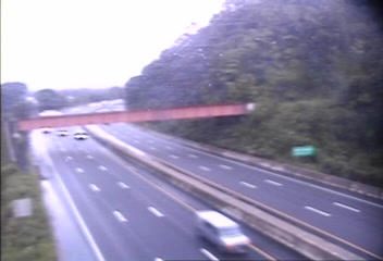
CAM 81 East Haven I-95 NB Exit 53 - S/O Hosley Ave.
East Haven, CT · NB
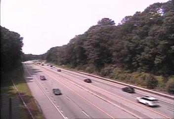
CAM 151 Madison I-95 NB S/O Exit 62 - S/O Horse Pond Rd.
Madison, CT · NB
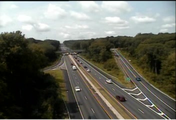
CAM 191 East Lyme I-95 NB Exit 71 - Four Mile River Rd.
East Lyme, CT · NB
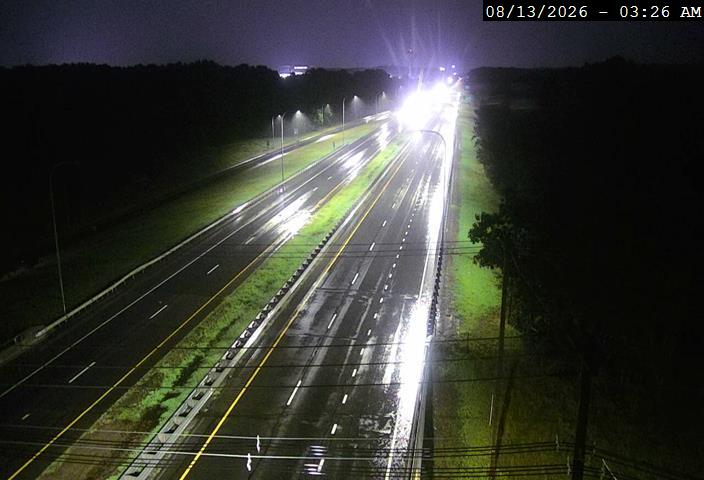
I-95 @ Hopkins Hill Rd
Coventry, RI · NB
Rest Stops Along Your Route
37 stops available
Swipe to see moreShowing 1-2 of 37

Get Weather Alerts for This Route
We'll notify you when conditions change before your trip. Never drive into a surprise storm again.
⚡ Recent Weather Events on This Route
Premium users received alerts for these conditions:
- 🌧️Sep 27: Rain advisory for afternoon departures
- ❄️Sep 25: Snow expected at higher elevations - consider earlier departure
- 🌫️Sep 22: Dense fog warning for morning travel
Don't miss the next alert →
Driving from Irvington, NJ to Providence, RI covers 165 miles in roughly 3h 17m of drive time, crossing state lines. We track 12 live traffic cameras, 37 rest areas and 1 active weather alert along this corridor so you can plan around them. A trip this short usually fits in a single morning or afternoon — check the live conditions just before you head out.
7-Day Driving Outlook
Today
Sep 29
72° / 59°
No precip
Tomorrow
Sep 30
74° / 58°
No precip
Thu
Oct 1
74° / 64°
No precip
Fri
Oct 2
82° / 65°
No precip
Sat
Oct 3
73° / 61°
No precip
Sun
Oct 4
67° / 56°
No precip
Mon
Oct 5
66° / 60°
No precip
🗓️ Weekend Outlook
Saturday
Good to Go☁️ Overcast at origin, 🌧️ Light drizzle at destination
Sunday
Good to Go⛅ Partly cloudy at origin, 🌧️ Moderate rain at destination
Plan This Route
Get hour-by-hour weather forecasts, real-time traffic, and find the optimal departure time.
🚗 Live traffic included
See if current slowdowns affect your drive time
Free • No sign-up required
Current Conditions
Irvington, NJ
59°F
Wind: 3 mph
Providence, RI
53°F
Wind: 4 mph
Weather data updated in real-time
Driving from Irvington, NJ to Providence, RI
The 165-mile journey from Irvington, NJ to Providence, RI is a straightforward northeastern corridor that primarily follows Interstate 78 North and Interstate 91 North, making it one of the more direct routes through the densely populated Northeast. You'll begin by heading north out of Irvington through the industrial heart of New Jersey, quickly merging onto I-78 which carries you through the state's northern reaches toward the Pennsylvania border. Once you cross into Pennsylvania, I-78 connects seamlessly to I-476 (the Pennsylvania Turnpike Northeast Extension), a toll road that climbs through the Pocono Mountains region, offering one of the route's most notable elevation changes as you gain roughly 1,500 feet in elevation. This scenic stretch reveals the Appalachian foothills terrain before you descend back down toward the Connecticut Valley, making it a geographically dynamic portion of your drive despite the highway setting.
As you continue north, you'll transition onto I-91 near the Pennsylvania-Connecticut border, which becomes your main artery for the remainder of the journey into Rhode Island. This interstate carries you through some New England's most historically significant towns, including Hartford, Connecticut's capital, where you can see the city's distinctive skyline rising from the Connecticut River valley. The landscape gradually transitions from the mountainous terrain of Pennsylvania into the more gently rolling hills and river valleys characteristic of southern New England, with increasingly frequent glimpses of the Connecticut River itself. By the time you approach the Massachusetts-Connecticut border, the terrain flattens considerably, and the drive becomes increasingly suburban as you approach the Providence metropolitan area.
Spring through early fall represents the ideal time to tackle this drive, when road conditions are optimal and visibility is excellent across all three states. Winter months can present challenges, particularly on the I-476 mountain section, where snow and ice can develop unexpectedly and reduce visibility. You'll want to budget adequate time for tolls on the Pennsylvania Turnpike and remain alert through urban stretches around Hartford and Providence, where traffic can significantly impact your three-hour-plus journey estimate during peak commuting hours.
The 165-mile drive from Irvington, New Jersey to Providence, Rhode Island takes approximately 3h 17m under normal conditions. Weather along this route can vary significantly, especially across varying terrain where weather conditions can change rapidly. Route Outlook helps you find the safest time to travel by showing you weather conditions at every point along your route, timed to when you'll actually be there.
Common Weather Hazards on This Route
- Sudden rain showers reducing visibility
- High winds affecting vehicle stability
- Seasonal weather changes impacting road conditions
Seasonal Driving Considerations
The Northeast corridor sees the full range of seasonal weather. Nor'easters from November through March can dump heavy snow and create whiteout conditions, while ice storms make roads treacherous. Summer and fall offer excellent driving conditions, though fall foliage season brings heavier traffic on scenic routes. Spring can bring unpredictable rain and residual freeze-thaw damage to road surfaces.
Best Time to Drive Irvington to Providence
For shorter trips like this 165-mile drive, morning departures typically offer the best conditions with lighter traffic and better visibility. Avoid rush hour periods (7-9 AM and 4-7 PM) if possible.
Driving Strategy
At 165 miles, the Irvington to Providence drive is short enough to complete in a single stretch. Still, check conditions along the route before you leave — a quick glance at live traffic cameras can confirm road visibility and surface conditions. If bad weather is forecasted for a narrow window, adjusting your departure by even an hour can make a significant difference in safety.
Pro Tip
Use Route Outlook's departure optimizer to find the best time to leave. Our 4D trajectory engine considers weather at each point along your route at the exact time you'll be there — not just at your destination. It also integrates live data from traffic cameras, DOT 511 feeds, and road weather sensors.
Frequently Asked Questions
How long is the drive from Irvington to Providence?
The drive is approximately 165 miles and takes about 3h 17m under normal traffic and weather conditions. Severe weather can add significant time to your trip.
What's the best day to drive this route?
Based on current forecasts, Thursday, Oct 1 looks ideal. Low chance of precipitation with manageable conditions
Is it safe to drive from Irvington to Providence today?
Current conditions show medium risk along this route. Conditions look favorable for travel. Always stay alert and adjust speed for changing conditions.
Are there rest areas on the Irvington to Providence route?
Yes, there are 37 rest areas along this route. Facilities include restrooms, parking, and in some cases picnic areas and vending machines. Rest stops are spaced throughout the drive, so you'll never be too far from a break.
Can I see live traffic cameras on this route?
Yes, Route Outlook shows 12 live traffic cameras along this route, sourced from state DOT feeds. You can check road visibility, traffic flow, and pavement conditions in real time before and during your drive.
What highways does this route use?
This route primarily uses Other. Conditions can vary between highway segments, so check live camera feeds and road condition reports for each stretch before departing.
Are there any road closures on this route right now?
No significant incidents or road closures are currently reported along this route. Conditions can change quickly — this page updates automatically with the latest data from state DOT 511 systems.
Related Driving Guides
10 Essential Winter Driving Tips for Long Road Trips
Planning a winter road trip? Here are the essential safety tips to help you navigate snow, ice, and cold weather conditions.
🧊Black Ice: The Invisible Killer on Winter Roads
Black ice forms when rain or melting snow refreezes on cold road surfaces. Here's how to spot the conditions that create it.
🛡️Road Safety Features: Real-Time Conditions for Your Route
Real-time traffic incidents from 12 states, highway message signs, road conditions, and 25,000+ traffic cameras--integrated into your route planning.
Explore More Routes
More routes from Irvington
More routes to Providence
Similar-distance drives
More routes starting in NJ
Don't Drive Blind Into Weather
Route Outlook shows you conditions at every point along your route—at the exact time you'll be there.
Open Planner