
Rochester, NY → Mississauga, ON
138 mi · 2h 19m (driving)
Current Risk
Low Risk
Clear conditions along your route
Rochester
60°
Mississauga
61°
Trip Briefing
1 segment · 138 mi · 2h 19m
Weather
☁️ Overcast
60°F, wind 6 mph
Incidents
10
severe
Rest Stops
16
Restrooms, Truck svc, WiFi
Cameras
12 live
Rest stops in this segment:
- ● Rest Area 🚻
- ● Ontario Travel Plaza 🚻
- ● Pembroke Travel Plaza
Delays Expected
10 major incidents reported · 24 construction zones on route
24 Construction Zones on Route
NY 590 in both directions: Road reconstruction between Exit 6: 941V and Exit 8: NY 404
Monroe, NY
I-590 (Rochester Outer Loop) in both directions: Bridge maintenance operations between Exit 1 and Exit 3
Monroe, NY
I-590 (Rochester Outer Loop) in both directions: Roadwork between Exit 1 and Exit 3
Monroe, NY
NY 19 (Lake St) in both directions: Utility work between NY 5 and I-90
Genesee, NY
NY 33 (Genesee St) in both directions: Utility work between NY 77 and Route 33 / Route 198 Interchange
Genesee, NY
I-90 (NYS Thruway): Road construction between Exit 49 (9 miles east of the Buffalo area) and NY 77
Genesee, NY
+ 18 more zones along the route — see map for full list
Traffic Cameras
See recent road conditions along your route
Images are snapshots updated periodically by state DOTs. Timestamps shown in images indicate when each photo was captured.
Your Route
Via I-490 West (Western Expressway) → I-90 West (New York State Thruway; Governor Thomas E. Dewey Thruway) → I-290 West (Youngmann Expressway; Youngmann Memorial Highway) → I-190 North
Cameras shown are along this computed route
Need a custom route?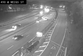
I-490 at Meigs Street
NY ·
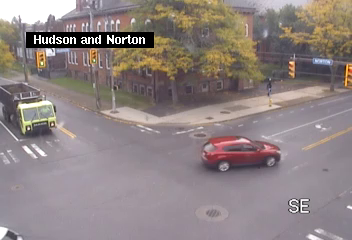
Hudson Ave at Norton St
NY ·
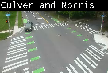
Culver Rd at Norris St / Hisdale St
NY ·
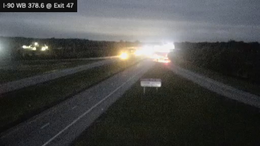
I-90 MP 378.60 WB at Interchange 47 (Leroy)
NY · WB
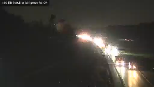
I-90 MP 409.50 East Bound at N. Millgrove Rd. Overapass
NY ·
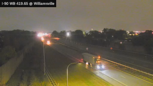
I-90 MP 419.65 WB at Interchange 50 (Williamsville Toll Gantry)
NY · WB
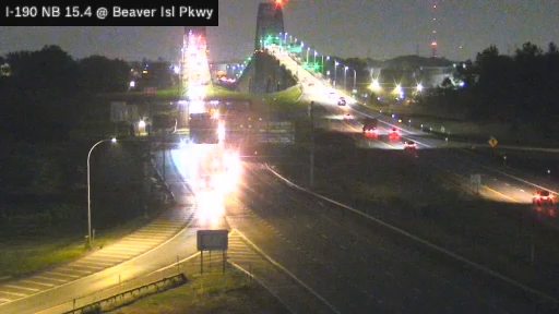
I-190 at Interchange 18A (Route 324) North of South Grand Island Bridge
NY ·

405 Niagara River
NY ·
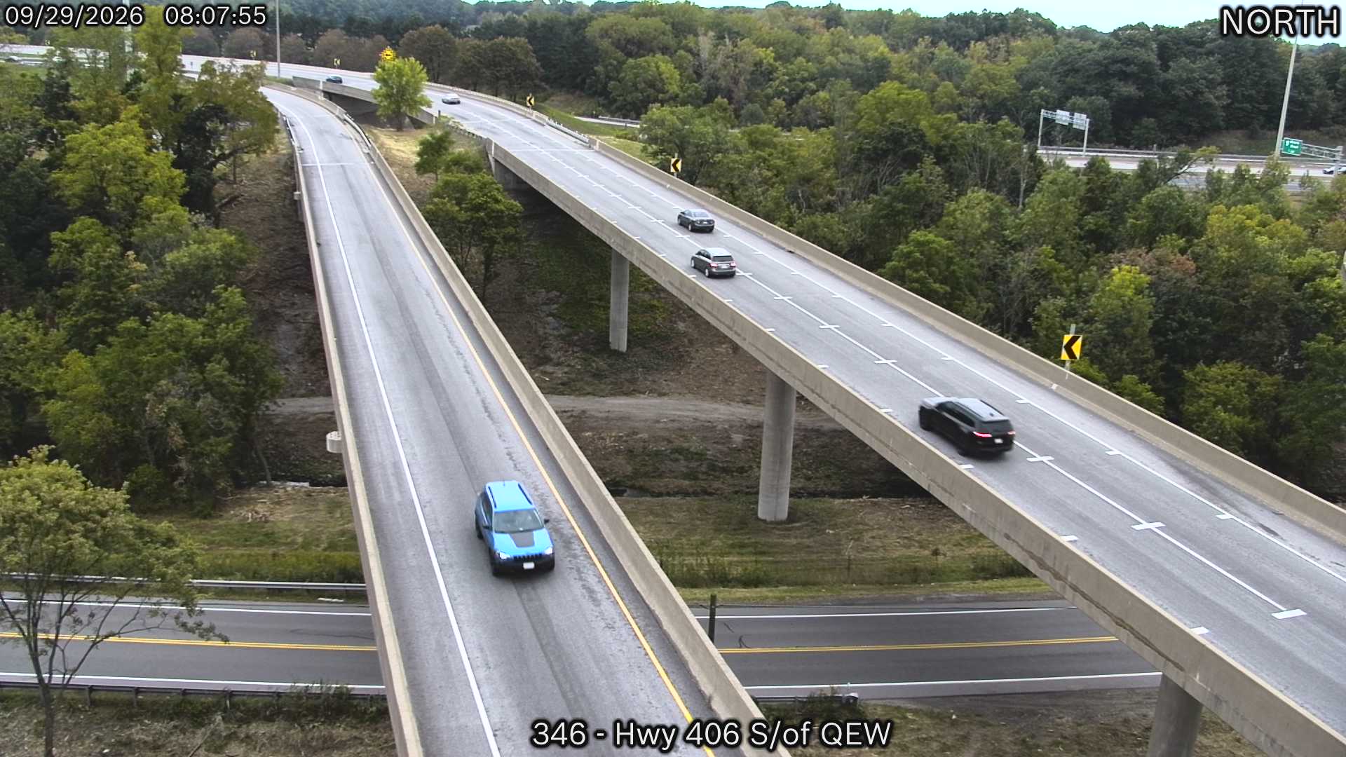
Highway 406 South of QEW
ON ·
QEW West of Fifty Road
ON ·
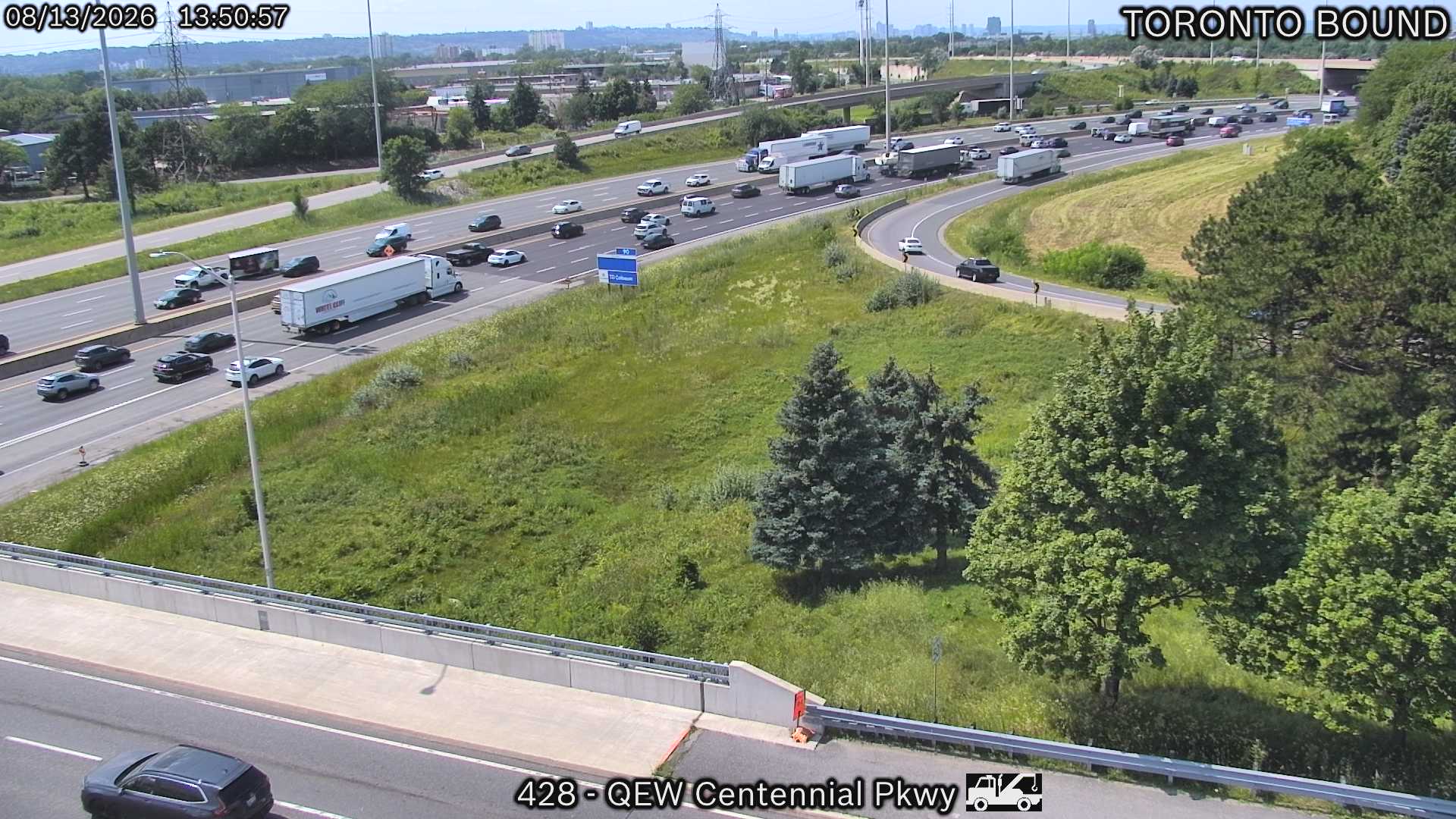
QEW near Centennial Parkway
ON ·
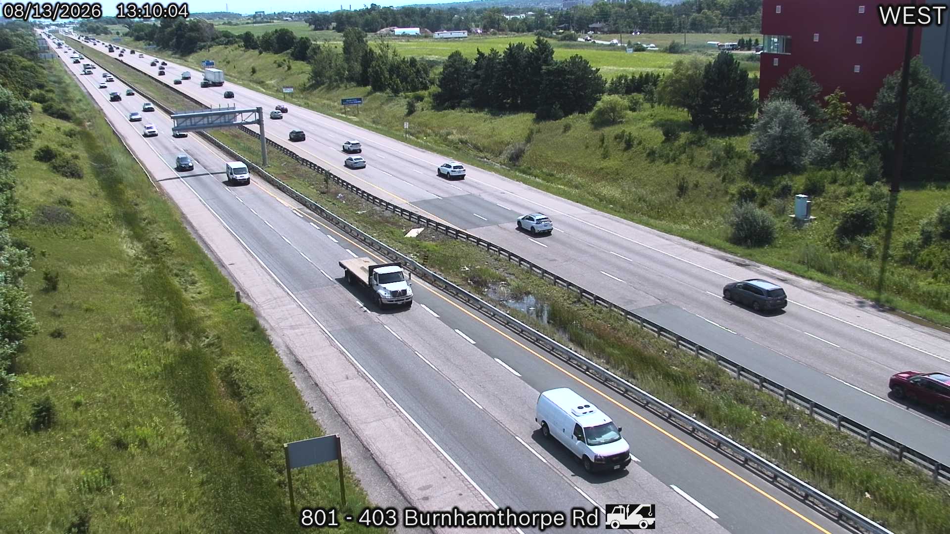
Highway 403 near Burnhamthorpe Road
ON ·
Rest Stops Along Your Route
16 stops available
Swipe to see moreShowing 1-2 of 16

Get Weather Alerts for This Route
We'll notify you when conditions change before your trip. Never drive into a surprise storm again.
⚡ Recent Weather Events on This Route
Premium users received alerts for these conditions:
- 🌧️Sep 27: Rain advisory for afternoon departures
- ❄️Sep 25: Snow expected at higher elevations - consider earlier departure
- 🌫️Sep 22: Dense fog warning for morning travel
Don't miss the next alert →
Driving from Rochester, NY to Mississauga, ON covers 138 miles in roughly 2h 19m of drive time, crossing state lines. We track 12 live traffic cameras, 16 rest areas and 10 reported incidents along this corridor so you can plan around them. A trip this short usually fits in a single morning or afternoon — check the live conditions just before you head out.
7-Day Driving Outlook
Today
Sep 29
67° / 60°
No precip
Tomorrow
Sep 30
73° / 58°
No precip
Thu
Oct 1
74° / 65°
No precip
Fri
Oct 2
67° / 62°
No precip
Sat
Oct 3
63° / 52°
No precip
Sun
Oct 4
69° / 48°
No precip
Mon
Oct 5
61° / 53°
No precip
🗓️ Weekend Outlook
Saturday
Good to Go☁️ Overcast at origin, ⛅ Partly cloudy at destination
Sunday
Good to Go⛅ Partly cloudy at origin, ⛅ Partly cloudy at destination
Plan This Route
Get hour-by-hour weather forecasts, real-time traffic, and find the optimal departure time.
🚗 Live traffic included
See if current slowdowns affect your drive time
Free • No sign-up required
Current Conditions
Rochester, NY
60°F
Wind: 6 mph
Mississauga, ON
61°F
Wind: 7 mph
Weather data updated in real-time
Driving from Rochester, NY to Mississauga, ON
Your journey from Rochester to Mississauga spans approximately 138 miles and will take you roughly two hours and nineteen minutes, primarily via the Queen Elizabeth Way (QEW) after crossing the international border. From Rochester, you'll head northwest on Interstate 490 before merging onto the New York State Thruway (Interstate 190), which carries you directly toward Niagara Falls. Once you cross into Canada at the Lewiston-Queenston Bridge or the Rainbow Bridge near Niagara Falls, you'll connect seamlessly to the QEW, a well-maintained four-lane highway that traces the northern shoreline of Lake Ontario all the way to the Greater Toronto Area. This route is straightforward and heavily trafficked, making navigation simple but requiring attention during peak travel times, particularly around the Niagara region and approaching the Toronto metropolitan area.
The landscape shifts noticeably as you drive, beginning with Rochester's flatter, glacially-carved terrain before climbing slightly toward the Niagara Escarpment near the Canadian border. You'll notice dramatic elevation changes as you descend toward the Niagara River gorge, offering glimpses of the Niagara Falls area's distinctive geography—one of North America's most recognizable landmarks sits just south of your route and makes for an interesting side trip if time permits. Beyond the falls, the QEW hugs the Ontario shoreline, where you'll witness the transition from the dramatic cliff faces of the escarpment to the gentler, increasingly urbanized landscape surrounding the Golden Horseshoe region. The drive incorporates both scenic rural sections through the Niagara wine country and increasingly dense suburban stretches as you approach Mississauga, so you'll experience considerable variety within a relatively short journey.
This route is most pleasant during late spring through early fall, when clear skies and moderate temperatures make the drive comfortable and the Niagara region's natural beauty is most appealing. Winter driving requires caution, as the QEW can become treacherous with lake-effect snow near Niagara and icy conditions through the Toronto corridor, while summer weekends often bring significant traffic congestion. The urban sections approaching Mississauga—particularly around the Burlington and Hamilton areas—can experience delays during rush hours, so consider timing your departure to avoid late afternoon traffic if possible.
The 138-mile drive from Rochester, New York to Mississauga, Ontario takes approximately 2h 19m under normal conditions. Weather along this route can vary significantly, especially across varying terrain where weather conditions can change rapidly. Route Outlook helps you find the safest time to travel by showing you weather conditions at every point along your route, timed to when you'll actually be there.
Common Weather Hazards on This Route
- Winter storms and heavy snowfall (November through April)
- Black ice on mountain passes and bridges
Seasonal Driving Considerations
The Northeast corridor sees the full range of seasonal weather. Nor'easters from November through March can dump heavy snow and create whiteout conditions, while ice storms make roads treacherous. Summer and fall offer excellent driving conditions, though fall foliage season brings heavier traffic on scenic routes. Spring can bring unpredictable rain and residual freeze-thaw damage to road surfaces.
Best Time to Drive Rochester to Mississauga
For shorter trips like this 138-mile drive, morning departures typically offer the best conditions with lighter traffic and better visibility. Avoid rush hour periods (7-9 AM and 4-7 PM) if possible.
Driving Strategy
At 138 miles, the Rochester to Mississauga drive is short enough to complete in a single stretch. Still, check conditions along the route before you leave — a quick glance at live traffic cameras can confirm road visibility and surface conditions. If bad weather is forecasted for a narrow window, adjusting your departure by even an hour can make a significant difference in safety.
Pro Tip
Use Route Outlook's departure optimizer to find the best time to leave. Our 4D trajectory engine considers weather at each point along your route at the exact time you'll be there — not just at your destination. It also integrates live data from traffic cameras, DOT 511 feeds, and road weather sensors.
Frequently Asked Questions
How long is the drive from Rochester to Mississauga?
The drive is approximately 138 miles and takes about 2h 19m under normal traffic and weather conditions. Severe weather can add significant time to your trip.
What's the best day to drive this route?
Based on current forecasts, Sunday, Oct 4 looks ideal. Clear conditions expected along the entire route
Is it safe to drive from Rochester to Mississauga today?
Current conditions show low risk along this route. Conditions look favorable for travel. Always stay alert and adjust speed for changing conditions.
Are there rest areas on the Rochester to Mississauga route?
Yes, there are 16 rest areas along this route. Facilities include restrooms, parking, and in some cases picnic areas and vending machines. Rest stops are spaced throughout the drive, so you'll never be too far from a break.
Can I see live traffic cameras on this route?
Yes, Route Outlook shows 12 live traffic cameras along this route, sourced from state DOT feeds. You can check road visibility, traffic flow, and pavement conditions in real time before and during your drive.
What highways does this route use?
This route primarily uses Other. Conditions can vary between highway segments, so check live camera feeds and road condition reports for each stretch before departing.
Are there any road closures on this route right now?
There are currently 10 active incidents along this route that may affect your drive. Check the incident details above for specific locations and expected durations.
Related Driving Guides
10 Essential Winter Driving Tips for Long Road Trips
Planning a winter road trip? Here are the essential safety tips to help you navigate snow, ice, and cold weather conditions.
🧊Black Ice: The Invisible Killer on Winter Roads
Black ice forms when rain or melting snow refreezes on cold road surfaces. Here's how to spot the conditions that create it.
🛡️Road Safety Features: Real-Time Conditions for Your Route
Real-time traffic incidents from 12 states, highway message signs, road conditions, and 25,000+ traffic cameras--integrated into your route planning.
Explore More Routes
More routes from Rochester
More routes to Mississauga
Similar-distance drives
More routes starting in NY
Don't Drive Blind Into Weather
Route Outlook shows you conditions at every point along your route—at the exact time you'll be there.
Open Planner