
South Brunswick, NJ → Providence, RI
191 mi · 3h 48m (driving)
Current Risk
Low Risk
Clear conditions along your route
South Brunswick
68°
40.9°
66°
41.3°
66°
Providence
67°
Trip Briefing
3 segments · 191 mi · 3h 49m
Weather
⛅ Partly cloudy
66°F, wind 4 mph
Incidents
15
severe
Rest Stops
16
Restrooms, WiFi, water
Cameras
3 live
Rest stops in this segment:
- ● Molly Pitcher Service Area 🚻
- ● Molly Pitcher Service Area 🚻 🪑
- ● Joyce Kilmer 🚻
Delays Expected
15 major incidents reported · 33 construction zones on route
33 Construction Zones on Route
NY 440 (Mlk Expressway) northbound: Roadwork between Bayonne Bridge and the end of NY 440 (Mlk Expressway)
Richmond, NY
E Line and F Line: from World Trade Center to Jamaica - 179 St: Traffic signal maintenance work.
New York, NY
C Line: from W 4 St - Wash Sq to Jay St - MetroTech: Traffic signal maintenance work.
New York, NY
M55 Bus: from Av Of The Americas/W 42 St to W 44 St/6 Av: Roadwork.
New York, NY
M3 Bus and M4 Bus: from Madison Av/E 42 St to Madison Av/E 47 St: Roadwork.
New York, NY
M101 Bus, M102 Bus and M103 Bus: at 3 Av/E 42 St: Roadwork.
New York, NY
+ 27 more zones along the route — see map for full list
Traffic Cameras
See recent road conditions along your route
Images are snapshots updated periodically by state DOTs. Timestamps shown in images indicate when each photo was captured.
Choose your route:
Selected Route
Via CR-522 → US-1 → ... → Hutchinson River Parkway → I-95 North
Cameras shown are along this computed route
Need a custom route?
I-95 at Arthur Avenue
NY ·

I-95 MP 006.94 NB at the New Rochelle Toll Gantry
New Rochelle, NY · NB

I-95 MP 012.50 NB at Interchange 19 (Playland Parkway)
NY · NB
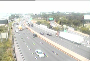
CAM 28 Norwalk I-95 NB Exit 15 - US 7
Norwalk, CT · NB
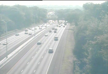
CAM 30 Norwalk I-95 NB S/O Exit 16 - S/O Saugatuck Ave.
Norwalk, CT · NB
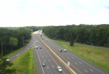
CAM 61 Milford I-95 NB Exit 36 - Plains Rd.
Milford, CT · NB
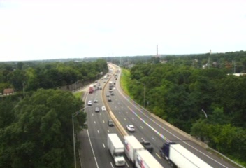
CAM 59 Milford I-95 NB Exit 34 - Rt. 1 (Bridgeport Ave.)
Milford, CT · NB
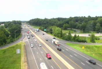
CAM 65 Milford I-95 NB Exit 39B - Rt. 1 (Boston Post Rd.)
Milford, CT · NB
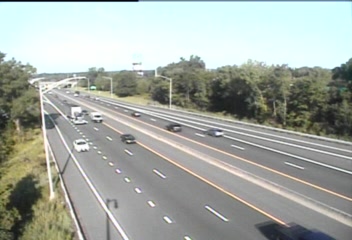
CAM 91 Branford I-95 NB Exit 56 - N/O Leetes Island Rd.
Branford, CT · NB
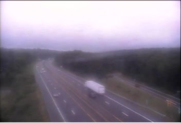
CAM 186 Old Saybrook I-95 NB S/O Exit 67 - Elm St.
Old Saybrook, CT · NB
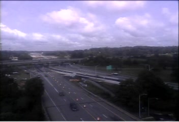
CAM 199 New London I-95 NB Exit 83 - Williams St.
New London, CT · NB
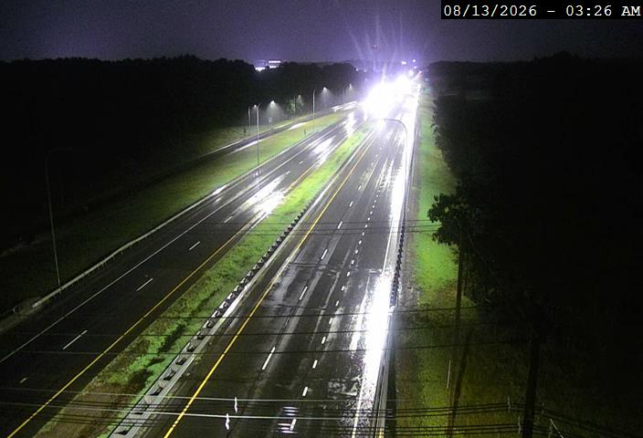
I-95 @ Hopkins Hill Rd
Coventry, RI · NB
Rest Stops Along Your Route
40 stops available
Swipe to see moreShowing 1-2 of 40

Get Weather Alerts for This Route
We'll notify you when conditions change before your trip. Never drive into a surprise storm again.
⚡ Recent Weather Events on This Route
Premium users received alerts for these conditions:
- 🌧️Sep 28: Rain advisory for afternoon departures
- ❄️Sep 26: Snow expected at higher elevations - consider earlier departure
- 🌫️Sep 23: Dense fog warning for morning travel
Don't miss the next alert →
Driving from South Brunswick, NJ to Providence, RI covers 191 miles in roughly 3h 48m of drive time, crossing state lines. We track 12 live traffic cameras, 40 rest areas and 15 reported incidents along this corridor so you can plan around them. A trip this short usually fits in a single morning or afternoon — check the live conditions just before you head out.
7-Day Driving Outlook
Today
Sep 30
72° / 55°
No precip
Tomorrow
Oct 1
74° / 61°
5% precip
Fri
Oct 2
85° / 62°
29% precip
Sat
Oct 3
72° / 55°
29% precip
Sun
Oct 4
69° / 54°
21% precip
Mon
Oct 5
71° / 49°
21% precip
Tue
Oct 6
58° / 42°
1% precip
🗓️ Weekend Outlook
Saturday
Good to Go🌧️ Light drizzle at origin, ☁️ Overcast at destination
Sunday
Good to Go☁️ Overcast at origin, ⛅ Partly cloudy at destination
Plan This Route
Get hour-by-hour weather forecasts, real-time traffic, and find the optimal departure time.
🚗 Live traffic included
See if current slowdowns affect your drive time
Free • No sign-up required
Current Conditions
South Brunswick, NJ
68°F
Wind: 3 mph
Providence, RI
67°F
Wind: 3 mph
Weather data updated in real-time
Driving from South Brunswick, NJ to Providence, RI
Your journey from South Brunswick to Providence follows one of the Northeast Corridor's most direct pathways, primarily utilizing Interstate 95 North for the majority of the 191-mile trek. You'll begin by merging onto I-95 from the central New Jersey area, passing through the densely populated suburbs surrounding the New York metropolitan area before breaking into more open terrain as you continue northeast. The route maintains a relatively consistent northbound trajectory, crossing from New Jersey into Connecticut around the 50-mile mark, then continuing through Connecticut's interior before entering Rhode Island's western border roughly 30 miles from your destination. This straightforward routing typically takes around three hours and forty-nine minutes under normal conditions, making it one of the most efficient connections between New Jersey's central region and Rhode Island's capital.
The landscape transforms noticeably as you progress northward along this corridor. Initially, you'll traverse the highly developed suburban sprawl and industrial areas of central and northern New Jersey, with relatively flat to gently rolling terrain. Once you cross into Connecticut, the scenery becomes more varied, with forests and wetlands becoming more prominent, and you'll notice subtle elevation changes as you move through the state's interior. As you approach Providence, the terrain begins to flatten again, and you'll encounter increasing urban density as you enter the Rhode Island metropolitan area surrounding the capital city.
Several significant cities punctuate this route, providing landmarks and potential rest stops along the way. You'll pass near New Brunswick and Princeton in New Jersey, then continue through Connecticut without major city centers directly on I-95 in this section, though you can see signs for various communities. The final stretch into Providence brings you through increasingly developed suburbs before reaching the city itself.
For the most pleasant driving experience, aim for late spring through early fall when weather conditions are most stable. Winter travel on this route requires extra caution due to potential snow and ice, particularly in Connecticut and Rhode Island, while summer's peak traffic periods can create significant delays around major metropolitan areas.
The 191-mile drive from South Brunswick, New Jersey to Providence, Rhode Island takes approximately 3h 48m under normal conditions. Weather along this route can vary significantly, especially across varying terrain where weather conditions can change rapidly. Route Outlook helps you find the safest time to travel by showing you weather conditions at every point along your route, timed to when you'll actually be there.
Common Weather Hazards on This Route
- Sudden rain showers reducing visibility
- High winds affecting vehicle stability
- Seasonal weather changes impacting road conditions
Seasonal Driving Considerations
The Northeast corridor sees the full range of seasonal weather. Nor'easters from November through March can dump heavy snow and create whiteout conditions, while ice storms make roads treacherous. Summer and fall offer excellent driving conditions, though fall foliage season brings heavier traffic on scenic routes. Spring can bring unpredictable rain and residual freeze-thaw damage to road surfaces.
Best Time to Drive South Brunswick to Providence
For shorter trips like this 191-mile drive, morning departures typically offer the best conditions with lighter traffic and better visibility. Avoid rush hour periods (7-9 AM and 4-7 PM) if possible.
Driving Strategy
At 191 miles, the South Brunswick to Providence drive is short enough to complete in a single stretch. Still, check conditions along the route before you leave — a quick glance at live traffic cameras can confirm road visibility and surface conditions. If bad weather is forecasted for a narrow window, adjusting your departure by even an hour can make a significant difference in safety.
Pro Tip
Use Route Outlook's departure optimizer to find the best time to leave. Our 4D trajectory engine considers weather at each point along your route at the exact time you'll be there — not just at your destination. It also integrates live data from traffic cameras, DOT 511 feeds, and road weather sensors.
Frequently Asked Questions
How long is the drive from South Brunswick to Providence?
The drive is approximately 191 miles and takes about 3h 48m under normal traffic and weather conditions. Severe weather can add significant time to your trip.
What's the best day to drive this route?
Based on current forecasts, Tuesday, Oct 6 looks ideal. Clear conditions expected along the entire route
Is it safe to drive from South Brunswick to Providence today?
Current conditions show low risk along this route. Conditions look favorable for travel. Always stay alert and adjust speed for changing conditions.
Are there rest areas on the South Brunswick to Providence route?
Yes, there are 40 rest areas along this route. Facilities include restrooms, parking, and in some cases picnic areas and vending machines. Rest stops are spaced throughout the drive, so you'll never be too far from a break.
Can I see live traffic cameras on this route?
Yes, Route Outlook shows 12 live traffic cameras along this route, sourced from state DOT feeds. You can check road visibility, traffic flow, and pavement conditions in real time before and during your drive.
What highways does this route use?
This route primarily uses I-95. Conditions can vary between highway segments, so check live camera feeds and road condition reports for each stretch before departing.
Are there any road closures on this route right now?
There are currently 15 active incidents along this route that may affect your drive. Check the incident details above for specific locations and expected durations.
Related Driving Guides
10 Essential Winter Driving Tips for Long Road Trips
Planning a winter road trip? Here are the essential safety tips to help you navigate snow, ice, and cold weather conditions.
🧊Black Ice: The Invisible Killer on Winter Roads
Black ice forms when rain or melting snow refreezes on cold road surfaces. Here's how to spot the conditions that create it.
🛡️Road Safety Features: Real-Time Conditions for Your Route
Real-time traffic incidents from 12 states, highway message signs, road conditions, and 25,000+ traffic cameras--integrated into your route planning.
Explore More Routes
More routes from South Brunswick
More routes to Providence
Similar-distance drives
More routes starting in NJ
Don't Drive Blind Into Weather
Route Outlook shows you conditions at every point along your route—at the exact time you'll be there.
Open Planner